Description
Features
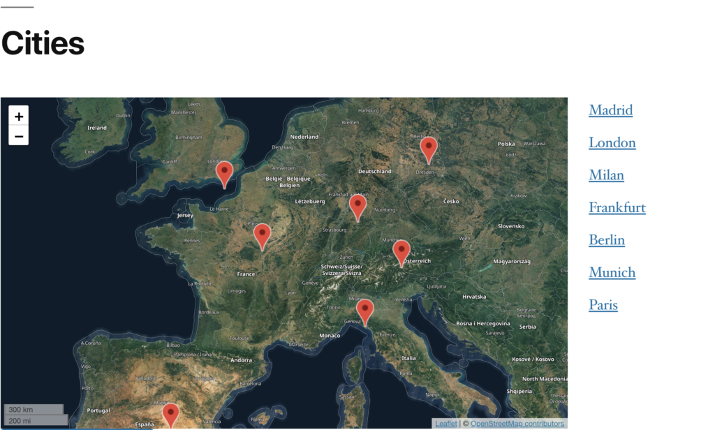
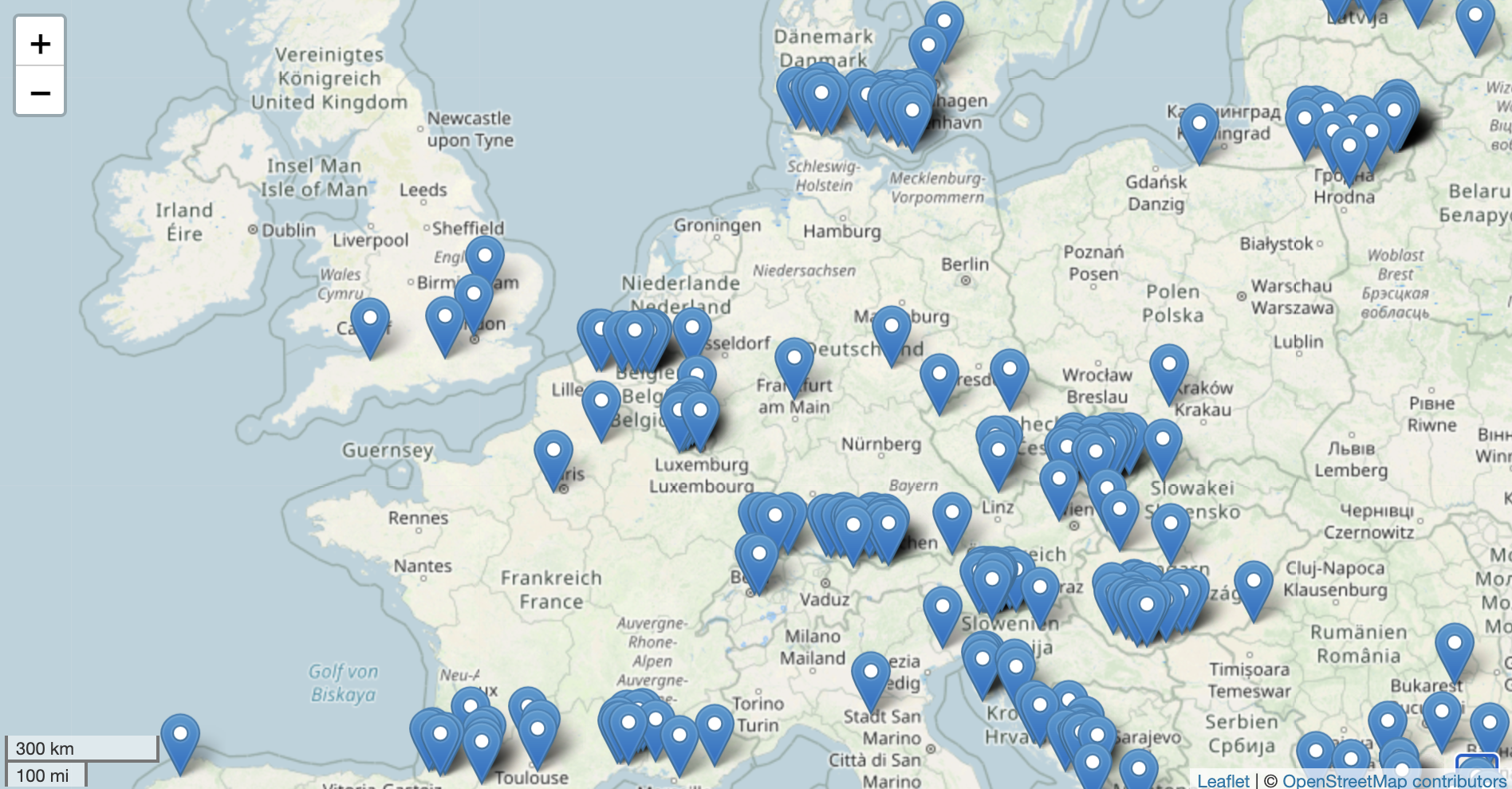
Open Streetmap based
- Uses the open source LeafletJS library.
- Any Open Streetmap (Tile) server can be used.
- By default we use the openstreetmaps.de server with location Germany.

Mapstyles
To display different map styles, Open Street uses so-called “tile servers”.
The plugin supports any tile server. As default the european server of openstreetmaps.de is used.
To use more styles and stay DSGVO compliant we recommend https://www.maptiler.com/ or openstreetmaps.de as European provider.
However, self-hosted or other third-party tile servers can also be used with the plugin.
This plugin itself does not come with a tile server included.

Custom markers, icons and map settings
The map display can be customized via filters (PHP code). Among other settings, custom marker icons can be used.

(Almost-) All settings of the original FacetWP Map-Facet.
- Marker Clustering
- ACF-Support
- Mapsize
- Min-/Max Zoom (The available zoom levels can vary based on the used Tile Server. Some tileservers do not provide high zoom levels, e.g. > 17)
- Marker Content
- Additionally:
- Custom OpenStreetMap Tileserver

What’s not included?
Althought related to the map facet, this plugin does not offer a Open Streetmaps based solution for the “Proximity” plugin. However, the this plugin is compatible to the Google Maps based proximity facet from facetwp.
License
The Plugin is Licensed under GPL2 and based on the original FaceWP Map Facet.
The plugin author is not related to the original FacetWP Plugin developers.
